
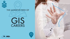
Today is GIS Day, a day to recognize the importance of Geographic Information Systems on people and businesses’ everyday lives throughout the world. Arra Faith Estur, a GIS Analyst for GeoNobel, Inc., a subsidiary of Nobel Systems, created the above video to explain what GIS is and the various career paths one can pursue in […]
Mapping
Nobel Systems to Celebrate GIS Day with Map-Making Contest
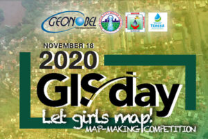
Nobel Systems’ Philippines division, GeoNobel, is celebrating GIS Day in partnership with the Bayawan Water District, Teresa Water District, and Valencia City Water District with a map-making contest. GIS Day takes place Nov. 18, 2020. The contest is geared toward females in Bayawan, Teresa, and Valencia City local schools to encourage women’s growth in technology […]
City of Calimesa Enhances GIS Systems with Nobel Systems GeoViewer Enterprise Software
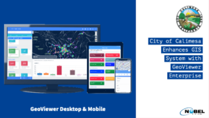
The City of Calimesa in Riverside County, Calif. has contracted to utilize Nobel Systems’ GeoViewer Enterprise to enhance its existing GIS mapping systems and manage city assets. The city will use GeoViewer Online and Mobile to manage city infrastructure and assets via the software’s user-friendly interface. GeoViewer’s secure cloud-based software provides Calimesa city staff access […]
Why GIS in Urban Planning is Critically Important

The use of Geographic Information Systems or GIS in urban planning in North America and throughout the world has expanded at an exponential rate since the mid-1960s and early 1970s when Canada first used GIS to assess land inventory. A GIS is a software that captures, analyzes and manages spatial and geographical data. The Canadian […]
An Overview of GIS History
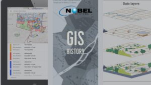
What is GIS? A Geographic Information System (GIS) captures, manipulates, stores, analyzes, and manages data. It is an extension of cartography — the science of making maps — and allows individuals to visualize, analyze, question, and interpret data. A GIS is like a cartographic document in the sense they both contain examples of a base […]