
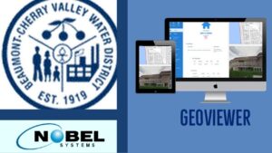
Nobel Systems will implement its state-of-the-art GeoViewer GIS system for Beaumont-Cherry Valley Water District. The water district will use both Nobel’s flagship Online and Mobile GeoViewer software with unlimited licenses to manage their daily operations, including excavation alert, valve exercising, and hydrant flushing. Built on the latest smart map technology available, GeoViewer is customizable so it can […]
GIS Technology
Why GIS in Urban Planning is Critically Important

The use of Geographic Information Systems or GIS in urban planning in North America and throughout the world has expanded at an exponential rate since the mid-1960s and early 1970s when Canada first used GIS to assess land inventory. A GIS is a software that captures, analyzes and manages spatial and geographical data. The Canadian […]
Nobel Systems Demonstrates GeoViewer GPS Technology to Mt. SAC Civil Engineer Students
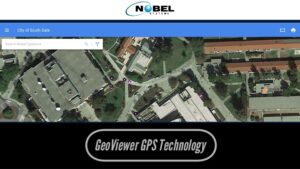
Bradley Barnhart, Nobel Systems application developer, and customer representative, recently gave a course lecture for civil engineers at Mt. San Antonio College on the GPS technology of Nobel Systems’ GeoViewer application. Kenneth Tang, the senior civil engineer for the City of Southgate, invited Barnhart to explain to students how Nobel’s GPS collection tool saves data […]
The Consummate Business Value of GIS and IoT

Integrating IoT with GIS can create entirely new initiatives, change industries, and generate new practices altogether.
An Overview of GIS History
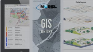
What is GIS? A Geographic Information System (GIS) captures, manipulates, stores, analyzes, and manages data. It is an extension of cartography — the science of making maps — and allows individuals to visualize, analyze, question, and interpret data. A GIS is like a cartographic document in the sense they both contain examples of a base […]