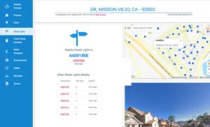
More cities are using Geographic Information Systems (GIS) to enable residents to access information and detailed data about where they live and work. The City of Mission Viejo offers its citizens the GIS GeoViewer Public application developed by Nobel Systems. The GIS GeoViewer Public View app provides detailed geographic information about properties, neighborhoods, and services within the city. […]
GeoViewer Public
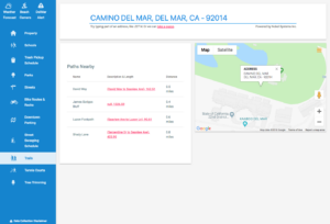
City of Del Mar Example of Public Value of GIS Smart Mapping
What is Smart Mapping? If you have ever used Google Maps, you have used a web mapping service. Web mapping is a standard protocol that serves georeferenced map images via the Internet. Data points from a GIS ( geographic information system) database provides the details for the images. Smart mapping takes web mapping a step […]


