
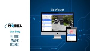
Case Study: El Toro Water District improves its wastewater management and water infrastructure asset management using Nobel System’s GeoViewer™ Mobile The El Toro Water District went digital several years ago to manage its potable water and wastewater assets and infrastructure. However, its operations were not completely paperless, especially in the field. While the district implemented […]
GIS and IoT
The Future of GIS and IoT in Utility Management
The global demand for geospatial data has catapulted to unprecedented heights, facilitated by an increase in geo-enabled devices and technological capabilities. The global GIS (Geographic Information Systems) market is expected to grow exponentially over the next five years, where it will continue to impact government, utility management, transportation, and many other sectors. There is widespread […]
Learn How IoT Helps Water Utilities Manage Assets
Recent GIS Day events show how the world is embracing GIS (geographic information systems) and IoT (Internet of Things) in ever-increasing ways in business and everyday life. From GPS navigation on mobile devices, and mapping firestorms and lava flows, to asset management for utilities, the capabilities of advancing GIS/IoT technologies seems endless. Watch our video […]
Utility Asset Management with IoT and GIS
Utilities are transitioning to the cloud in numbers, utilizing technology which has transformed the way information is shared and stored. But for utility asset management, how can GIS and IoT be incorporated? Combining GIS and IoT Utilities are increasingly taking advantage of GIS in the digital mapping of assets, including water, wastewater, storm drain, electrical, and other […]
Nobel Systems Contracts with Beaumont-Cherry Valley Water District for GeoViewer GIS System
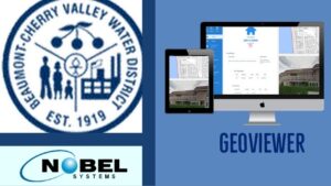
Nobel Systems will implement its state-of-the-art GeoViewer GIS system for Beaumont-Cherry Valley Water District. The water district will use both Nobel’s flagship Online and Mobile GeoViewer software with unlimited licenses to manage their daily operations, including excavation alert, valve exercising, and hydrant flushing. Built on the latest smart map technology available, GeoViewer is customizable so it can […]