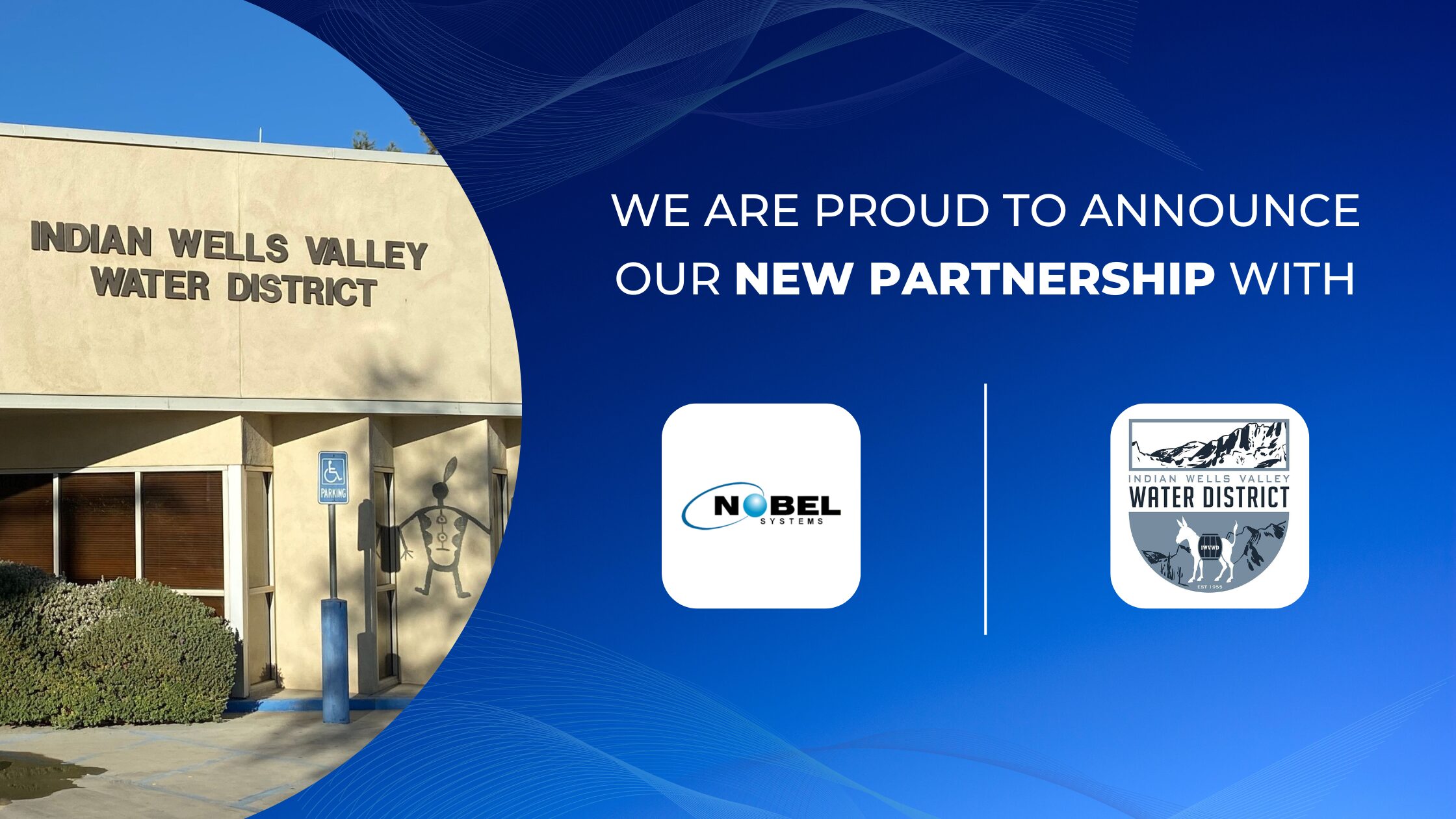
In the age of digital transformation, organizations must continually evolve to meet the demands of modern infrastructure management. The Indian Wells Valley Water District (IWVWD), a critical water supplier in Ridgecrest, California, is no exception. Recognizing the need for enhanced data management and operational efficiency, IWVWD has partnered with Nobel Systems to implement a state-of-the-art Enterprise Cloud Geographic Information System (GIS). This collaboration promises to revolutionize how IWVWD manages its water resources, leveraging Nobel Systems’ cutting-edge GeoViewer platform.

Overview of Nobel Systems and Its GIS Expertise
Nobel Systems, founded in 1992 and headquartered in Redlands, California, has established itself as a global leader in GIS technology. With a diverse team of over 70 professionals, including civil engineers, utility designers, and IT specialists, Nobel Systems offers a comprehensive suite of GIS-based Asset Management services. These range from data conversion and custom application development to Software as a Service (SaaS) solutions. The company serves over 100 organizations worldwide, including municipalities, utilities, and private enterprises.
Nobel Systems’ mission is to deliver enterprise GIS programs that are aligned with organizational priorities, provide comprehensive and timely data management, and integrate seamlessly with existing enterprise systems.
A Revolutionary Tool for IWVWD
The GeoViewer platform, developed by Nobel Systems, represents a significant advancement in cloud-based GIS technology. Built on MapBox and using MongoDB for its Mobile App, GeoViewer offers an easy-to-use, customizable interface that does not require on-premises servers or complex software installations. This flexibility makes it an ideal solution for IWVWD’s needs.
GeoViewer provides a robust suite of tools designed to enhance maintenance management and operational workflows. Key features include:
- Interactive Mapping Portal: Allows users to access and manipulate critical data through an intuitive mapping interface.
- Mobile Capabilities: Field crews can perform tasks using GeoViewer Mobile on iPhone and iPad, facilitating real-time data collection and work order management.
- Integration with Existing Systems: GeoViewer can seamlessly integrate with IWVWD’s existing GIS data and other core software applications, enhancing the overall efficiency of the District’s operations.
Project Scope and Objectives
The collaboration between Nobel Systems and IWVWD aims to provide a comprehensive cloud-based GIS solution that meets both current and future needs of the District. The project encompasses several key objectives:
- Data Integration: Leverage existing GIS data and integrate it into the GeoViewer platform, ensuring seamless access and management.
- Operational Efficiency: Enhance IWVWD’s maintenance management capabilities through advanced mobile tools and real-time data synchronization.
- Scalability: Provide a flexible, scalable solution that can grow with the District’s evolving requirements.
To achieve these objectives, Nobel Systems will implement the GeoViewer platform, offering features such as valve exercising, hydrant flushing, leak data collection, and backflow inspection. The platform’s cloud-based architecture ensures high security and minimal maintenance, with data stored on Amazon Web Services and Google Cloud Storage, guaranteeing 99.99% uptime.
Implementation Strategy
The implementation of GeoViewer at IWVWD will follow a systematic approach, ensuring a smooth transition and minimal disruption to ongoing operations. Key components of the implementation strategy include:
- Initial Assessment: Conduct a comprehensive review of IWVWD’s current GIS infrastructure and data management practices.
- Customization and Configuration: Tailor the GeoViewer platform to meet the specific needs of IWVWD, including configuring modules for maintenance management, data collection, and reporting.
- Training and Support: Provide training for IWVWD staff to ensure effective use of the GeoViewer platform. Ongoing support will be available to address any issues and facilitate continuous improvement.
Anticipated Benefits
The adoption of Nobel Systems’ GeoViewer platform promises numerous benefits for IWVWD, including:
- Improved Data Accuracy: Enhanced data integration and management capabilities will lead to more accurate and reliable information, supporting better decision-making.
- Increased Operational Efficiency: The mobile capabilities of GeoViewer will streamline field operations, allowing for real-time data collection and immediate updates to the system.
- Cost Savings: By automating workflows and reducing manual data entry, IWVWD can achieve significant cost savings in maintenance and operations.
Nobel Systems’ Commitment to Excellence
Nobel Systems’ track record of successful GIS implementations, combined with its focus on innovation and customer satisfaction, positions it as an ideal partner for IWVWD. The company’s dedication to research and development, investing 30% of its profits annually into R&D, ensures that its solutions remain at the forefront of GIS technology.
Nobel Systems has a history of providing robust and reliable GIS solutions to a diverse clientele, from local government agencies to international organizations. The company’s expertise in developing and integrating GIS software has enabled it to deliver comprehensive solutions that meet the unique needs of each client.
A Step Forward
The partnership between Nobel Systems and the Indian Wells Valley Water District marks a significant step forward in the District’s efforts to modernize its GIS infrastructure and enhance its operational capabilities. By implementing the GeoViewer platform, IWVWD will gain access to cutting-edge tools and technologies that will streamline data management, improve maintenance workflows, and support informed decision-making.
Nobel Systems’ commitment to delivering innovative GIS-based Asset Management solutions, combined with its extensive experience and expertise, ensures that IWVWD will receive a state-of-the-art system that meets its current needs and is scalable for future growth. This strategic collaboration underscores the importance of leveraging advanced technology to drive operational efficiency and improve service delivery in the public utility sector.
