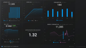
Today, with advancements in technology, it is vital for utilities to manage operations in real-time. In addition, it is critical to monitor assets and operations to prevent problems before they happen, allay downtimes, and explore new opportunities or plan for the future. Digital Twin Technologies enable utilities to do all this and more. To help […]
Business Intelligence
92 Percent Accurate Pipeline Assessment Using Artificial Intelligence and IoT
Traditionally, water utility districts managed underground infrastructure on a haphazard basis. Managers relied on visual occurrences and reports from the public about problems and sent field crew to fix pipeline leaks and ruptures as they happened. The unpredictability of pipeline leaks and failures was costly, and water utility managers had no way of conducting pipeline […]
Nobel Systems Creates Zoning Use and Code Enforcement Layers for Paramount
CITY OF PARAMOUNT Nobel Systems has completed completion of a services contract with the City of Paramount. In early May, Nobel Systems was selected to create a number of layers for the City, including creation of a Zoning Use layer and Code Enforcement CDBG map for their GIS system. Nobel was able to complete […]
Predictive Machine Learning Algorithm Forecasts Potential Water Main Breaks
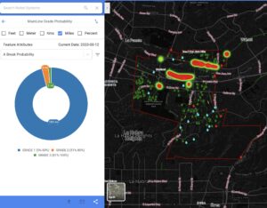
Nobel Systems has developed a new Predictive Machine Learning algorithm that enables water utilities to forecast the likelihood of pipe leaks and system failures. The breakthrough algorithm allows services to create a preventative pipe replacement plan that will reduce costly ruptures. Nobel IoT Engineer Tanmay Thakur created the new algorithm, which uses artificial intelligence (AI) […]
How Industries use GIS and Business Intelligence to Improve System Workflow and Reduce Costs
The combined use of Geographical Information Systems (GIS) and Business Intelligence today is helping businesses operate and improve productivity, and cut costs like never before. Applications that connect GIS and BI allow companies to track employees, assets, and equipment, and to collect and interpret data in real time to make informed decisions. GIS digitally stores geographic information […]


