
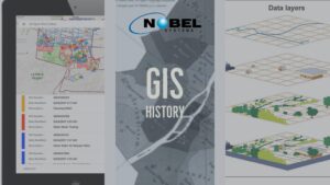
What is GIS? A Geographic Information System (GIS) captures, manipulates, stores, analyzes, and manages data. It is an extension of cartography — the science of making maps — and allows individuals to visualize, analyze, question, and interpret data. A GIS is like a cartographic document in the sense they both contain examples of a base […]
GIS
The Tech Women Behind Nobel Systems | International Women’s Day

Nobel Systems, a GIS Cloud Solutions company with offices in the United States, the Philippines, and India, salutes the women who work with Nobel and around the world. Observed since the early 1900s, International Women’s Day celebrates the cultural, social, economic and political achievement of women. It includes a call to action for gender equality in […]
Here’s How the GeoViewer Work Order Operates
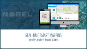
Nobel Systems’ GeoViewer is fueled by the power and accessibility of modern technology. It is arguably the most diverse, user-friendly mapping solution on the market. GeoViewer caters to local government agencies, private organizations, water companies, and utility districts, and has the latest synchronization technology built in. Real-time smart mapping drives enhanced decision making, and the […]
Nobel Systems Announces New Blog
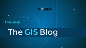
Nobel Systems, a GIS Cloud Solutions company, announces the launch of The GIS Blog. Here we will be sharing information and stories about how GIS, Business Intelligence, and related technologies are used in business and daily life, especially concerning the management of water and energy utilities. We’ll also take a look at the fascinating history and […]
20 Ways GIS Data is Used in Business and Everyday Life
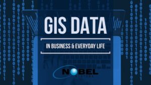
What is the Importance of GIS Data? Geographic Information Systems (GIS) have various industrial applications, and technological advancements have significantly enhanced GIS data, specifically how it can be used and what can be achieved as a result. Geographic Information Systems are powerful decision-making tools for any business or industry since it allows the analyzation of […]