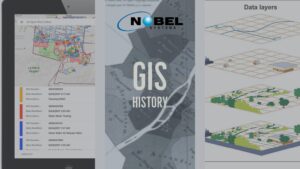
What is GIS? A Geographic Information System (GIS) captures, manipulates, stores, analyzes, and manages data. It is an extension of cartography — the science of making maps — and allows individuals to visualize, analyze, question, and interpret data. A GIS is like a cartographic document in the sense they both contain examples of a base […]

Powered by Nobel Systems
All about GIS, Cloud Solutions, Mapping, Business Intelligence, and Geospatial Analysis