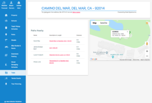
What is Smart Mapping? If you have ever used Google Maps, you have used a web mapping service. Web mapping is a standard protocol that serves georeferenced map images via the Internet. Data points from a GIS ( geographic information system) database provides the details for the images. Smart mapping takes web mapping a step […]
smart mapping
Nobel Provides GeoViewer Services to San Francisco
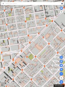
Nobel Systems has contracted to provide the City and County of San Francisco with its flagship GeoViewer Online and GeoViewer Mobile services. San Francisco city staff will use the GIS cloud mapping service to collect monument data in the field. San Francisco has 266 designated landmarks and monuments, many of which have been federally recognized. […]


