
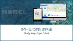
Nobel Systems’ GeoViewer is fueled by the power and accessibility of modern technology. It is arguably the most diverse, user-friendly mapping solution on the market. GeoViewer caters to local government agencies, private organizations, water companies, and utility districts, and has the latest synchronization technology built in. Real-time smart mapping drives enhanced decision making, and the […]
GIS Technology
20 Ways GIS Data is Used in Business and Everyday Life
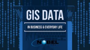
What is the Importance of GIS Data? Geographic Information Systems (GIS) have various industrial applications, and technological advancements have significantly enhanced GIS data, specifically how it can be used and what can be achieved as a result. Geographic Information Systems are powerful decision-making tools for any business or industry since it allows the analyzation of […]
How Industries use GIS and Business Intelligence to Improve System Workflow and Reduce Costs
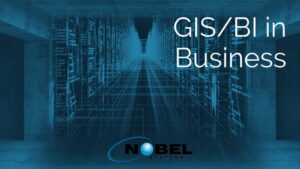
The combined use of Geographical Information Systems (GIS) and Business Intelligence today is helping businesses operate and improve productivity, and cut costs like never before. Applications that connect GIS and BI allow companies to track employees, assets, and equipment, and to collect and interpret data in real time to make informed decisions. GIS digitally stores geographic information […]