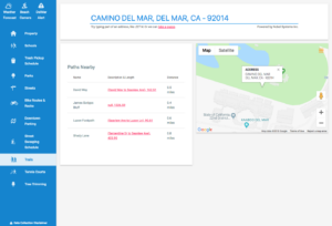
What is Smart Mapping? If you have ever used Google Maps, you have used a web mapping service. Web mapping is a standard protocol that serves georeferenced map images via the Internet. Data points from a GIS ( geographic information system) database provides the details for the images. Smart mapping takes web mapping a step […]
Utility Case Studies
Nobel Systems Case Study: City of South Gate Public Works Department
The City of South Gate, CA, like most municipalities, faces considerable challenges managing and maintaining aging infrastructure, critical assets, increasing costs from special water districts, and the need to streamline workflow process in both the office and field environment. In 2016 the city’s Public Works Department contracted with Nobel Systems to update the city’s water […]
Nobel to Provide Enterprise Cloud, GIS System to Joshua Basin Water District
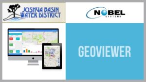
JOSHUA BASIN WATER DISTRICT CONTRACTS WITH NOBEL SYSTEMS TO PROVIDE AN ENTERPRISE CLOUD HOSTED GIS SYSTEM Nobel Systems will implement its state-of-the-art cloud-hosted system for the Joshua Basin Water District in Joshua Tree, Calif. The water district will use Nobel’s flagship product GeoViewer™ to manage its utility assets. Nobel Systems will provide both GeoViewer Online & […]


